AI & Data
Sumatra Rice Production Forecasting WebGIS
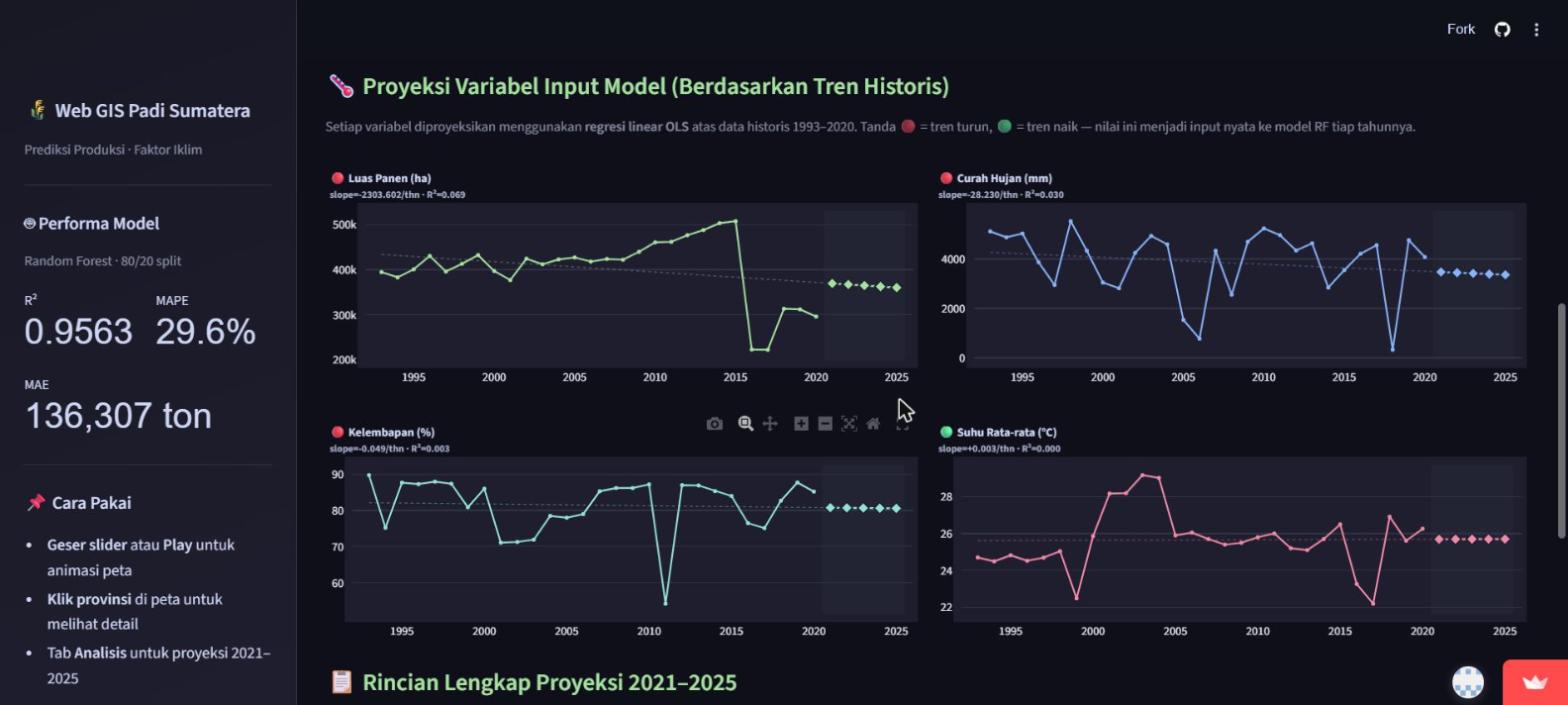
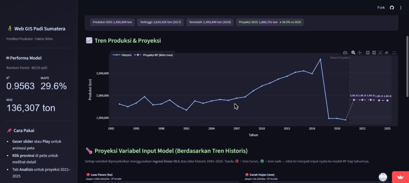
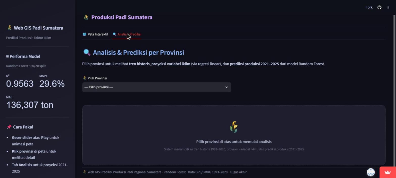
A geospatial web application predicting rice production across Sumatra's 8 provinces. It combines a historical choropleth map (1993-2020) with a climate-scenario projection mode (2021-2025) driven by a Random Forest regression model, letting a user adjust temperature, rainfall, humidity, and harvest-area inputs and see the resulting production forecast update live on the map.
- Machine Learning & Geospatial Developer
- 2026
- Python, Streamlit, Folium, scikit-learn, Pandas
Case Study
01 / PROBLEM
Agricultural planning benefits from seeing how climate variables translate into production outcomes across a region, not just as a table of numbers but as a map a non-technical viewer can read directly.
02 / PROCESS
Built with Streamlit and a Folium choropleth over an 8-province Sumatra GeoJSON boundary set, using historical BPS/BMKG data (1993-2020: harvested area, rainfall, humidity, average temperature) to train a Random Forest regression model on an 80/20 split. Each climate variable is also projected forward via its own linear regression trend, and those projected values feed the same Random Forest model to produce a province-level production forecast for 2021-2025, adjustable live via sliders.
03 / RESULT
A deployed, publicly usable web application (Streamlit Community Cloud) with two working modes: a historical time-slider map and a climate-scenario forecasting map, reporting the model's own measured accuracy directly in its interface (R² ≈ 0.956, MAPE ≈ 29.6%, MAE ≈ 136,307 tons, as displayed live in the deployed app at the time of this review).
Project Gallery
Interested in working together?
Reach out to talk about a project, or see more of the work first.